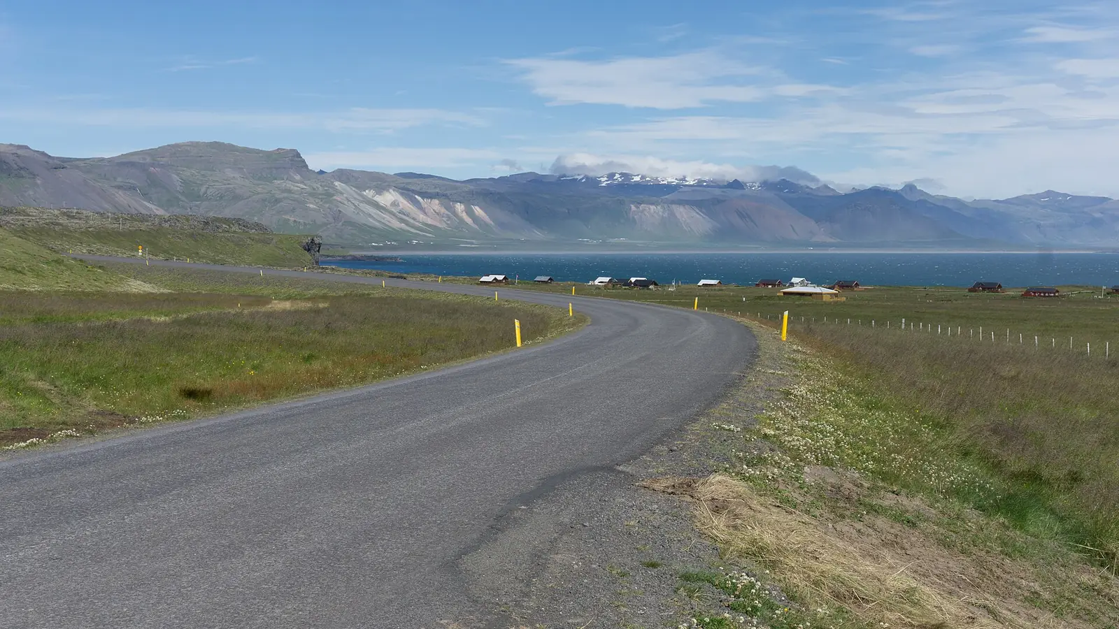
By car
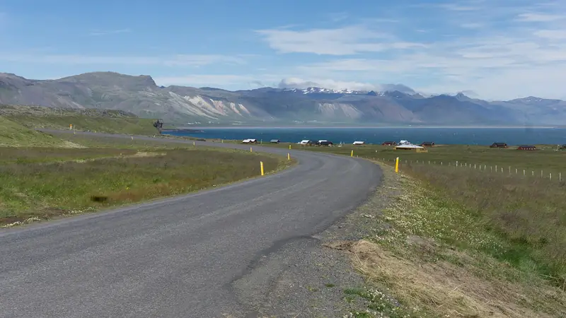
The usual route is Route 1 (the Ring Road) north past Borgarnes, then Route 54 onto the Snæfellsnes Peninsula. From Route 54 you turn onto Route 574, called Útnesvegur, which leads to Arnarstapi. Most of Route 54 is paved, but check conditions on road.is and safetravel.is before you leave, especially in winter. Read our driving safety guide first if you are new to Icelandic roads.
By bus
Strætó is the public operator for the area. Services on the peninsula are limited, sometimes one departure a day, and need connections. Schedules change, so confirm on straeto.is. For most visitors a car or tour is more practical.
By tour
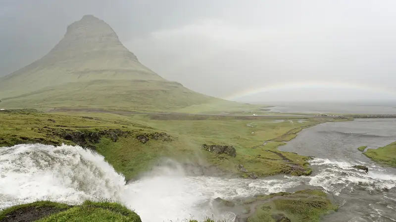
A guided day tour from Reykjavik lets you see Arnarstapi without driving. Many follow a route that combines the south coast of the peninsula and Kirkjufell. See our day trips page.
Which to choose
| Option | Best for | Keep in mind |
|---|---|---|
| Rental car | Freedom, photo stops, staying overnight | Weather, wind and a long driving day |
| Bus | Budget, patient planners | Few departures, check Strætó |
| Day tour | No driving, first visit to Iceland | Fixed schedule, little time at each stop |
Fuel up before the peninsula. Services are fewer once you leave Borgarnes, so top up the tank before you head out.
Check Snæfellsnes toursCancellation terms depend on the tour. Check before booking.
Frequently asked questions
How far is Arnarstapi from Reykjavik?
About 190 km by road, usually 2.5 to 3 hours without long stops.
Can you get to Arnarstapi by public bus?
Public transport on Snæfellsnes is limited, with few departures and connections. Check the current timetable on straeto.is before planning around it.
Is a day trip from Reykjavik to Arnarstapi realistic?
Yes, but it is a long day. Many guided tours cover Arnarstapi, other coastal stops and Kirkjufell in one trip.
Some links are affiliate links: if you book through them we earn a small commission at no extra cost to you. It funds the research behind this site.